Hayes et al. (2018)
Slab2, a comprehensive subduction zone geometry model
Gavin P. Hayes, Ginevra L. Moore, Daniel E. Portner, Mike Hearne, Hanna Flamme, Maria Furtney, and Gregory M. Smoczyk

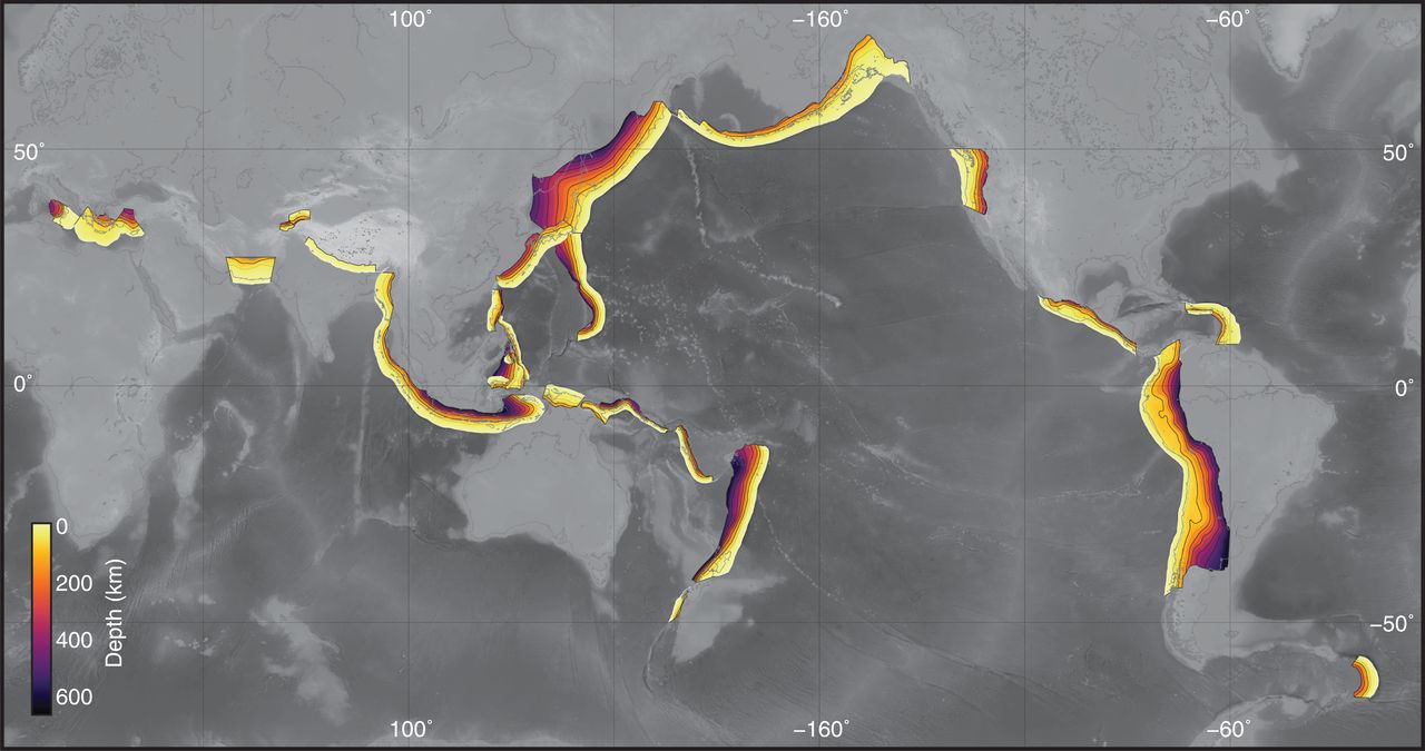
Figure 1:The global distribution of models included in Slab2. Models are colored by depth. Slab2 and the code base used to create it are openly available via
Summary
Subduction zones are home to the most seismically active faults on the planet. The shallow megathrust interfaces of subduction zones host Earth’s largest earthquakes and are likely the only faults capable of magnitude 9+ ruptures. Despite these facts, our knowledge of subduction zone geometry—which likely plays a key role in determining the spatial extent and ultimately the size of subduction zone earthquakes—is incomplete. We calculated the three-dimensional geometries of all seismically active global subduction zones. The resulting model, called Slab2, provides a uniform geometrical analysis of all currently subducting slabs.
Model Information
SUMMARY: Slab2
- Hayes, G. P., Moore, G. L., Portner, D. E., Hearne, M., Flamme, H., Furtney, M., & Smoczyk, G. M. (2018). Slab2, a comprehensive subduction zone geometry model. Science, 362(6410), 58–61. 10.1126/science.aat4723